
Open Space Inventory
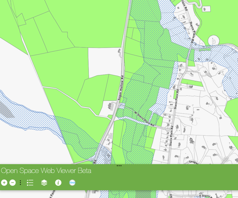
With funding from The Nature Conservancy, WestCOG has developed an open space inventory to assist with flood resilience programs. Resources include an interactive open space viewer, downloadable GIS data, an open space data schema, and methodology for data maintenance, all are included below.
Project Background
Protected open space is an important factor for flood resilience and is a foundational component to the flood mitigation strategies developed through FEMA’s Community Rating System (CRS). Protected open spaces not only provide a buffer between developed properties but also absorbs impacts from destructive high-water flow during a flood event. FEMA’s CRS program incentivizes communities to protect open space in flood zones and, once the community is within the program, further incentivizes communities to expand their flood mitigation activities.
WestCOG will request annual updates to the existing open space inventory to keep it up to date. This strategy is detailed in the Maintenance Strategy.