Projects
The WestCOG GIS team is working on a number of initiatives at the moment which are listed below
- Parcel and CAMA Data Improvements
- Regional Viewer
- WestCOG Data Campaigns
- Parcel & CAMA Data Acquisition
- Regional GIS Initiative
- 2020 Census Boundary Update
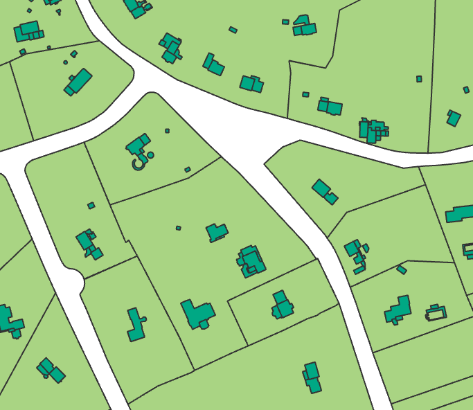
Parcel and CAMA Data Improvement
This project helps towns update and align their property records, so parcel maps and assessment data are accurate, complete, and easy to use.
The Connecticut Office of Policy and Management has allocated $2 million in American Rescue Plan Act (ARPA) funding to support Connecticut’s Councils of Governments (WestCOG among them) in addressing parcel and Computer-Assisted Mass Appraisal (CAMA) data issues within their member municipalities. This initiative aims to improve the accuracy, completeness, and recency of parcel and CAMA data to ensure all municipalities have reliable and well-integrated property records.
A prioritization framework was established, focusing on recency, match rates, completeness of CAMA fields, and geometric quality of parcel data. The scope of work and framework are refined in discussions between OPM, COG GIS Coordinators, and municipal parcel / CAMA vendors. The highest priority is to ensure parcel datasets are up to date and that each CAMA entry has a corresponding parcel in the parcel layer. The secondary priorities are to ensure the completeness of CAMA attribute fields and the existence of parcel / CAMA data for every assessable property. The final objective will be to improve the geometric quality of parcels following recommendations from the GIS Office and GIS Advisory Council.
Project Schedule
December 2024 – December 2026
Staff Contact
For additional information on the project, contact Nick Trabka at ntrabka@westcog.org and Eddie Provitz at eprovitz@westcog.org.
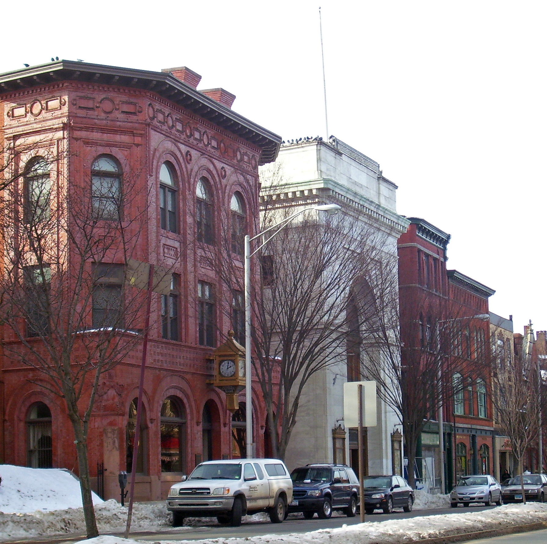
Regional Viewer
The Regional Viewer showcases WestCOG regional datasets which includes parcel, assessor, transportation, landuse, environmental, and topographical data.
Always Improving. The viewer is continually updated. WestCOG is happy to collect feedback to improve user experience and incorporate desired datasets. Leave feedback through the Viewer’s Dashboard or send directly to Mike Towle at mtowle@westcog.org.
Stay Updated. Updates to the Regional Viewer will be announced via WestCOG’s newsletter. Subscribe today!
Host Locally. Interested communities can link directly
to the regional viewer on their websites or even use it as their primary viewer
(the latter may provide cost savings).
Regional Viewer Link: https://gis.westcog.org/
Imagery Viewing. 2019, 2018, 2016, 2012, and 1990 imagery available for viewing.
Updated Regularly. Data is scheduled to be updated quarterly. WestCOG will manage data collection campaigns in March (Parcels & CAMA), June (CAMA), September (CAMA), and December (CAMA). Communities interested in more frequent updates can contact Mike Towle for more information.
Abutters Tools. Users can generate a list of abutters in the form of an excel list or mailing labels. The user can select the extent of the abutter ranger or perform an abutter selection based on a geometric shape (manually drawn).
Map Printing. Users can select layers, draw shapes, add points and text to prepare for sharing and printing.
Personalized Viewer. WestCOG can provide Power user access for municipal staff upon request. This would allow individual towns to view sensitive data in a protected space, host municipal specific layers, or other personalized requests. Contact Mike Towle with your requests.
Property Cards. Users can access property cards associated to their properties by: Choosing your town of interest from the drop down menu > Select your parcel of interest within that town > click the “Property Record Card” link found in the left hand ribbon. [This feature is in development and may not work for all towns.]
Training. The viewer has a short tour (opens on start up, and available in the menu) to walk through initial functionality. There is also an extensive Help Manual covering the additional features.
Upcoming Improvements. WestCOG has substantial improvement slated for completion for the end of March which includes.
- Additional data entries for assessment value data. Currently, mismatched or missing data reads as value 0. Data improvements are tied to WestCOG’s March Data Collection Campaign (A separate email will address this effort).
- Improved Regional Zoning Symbology.
- FEMA Flood Zones.
- Wetland Data.
- Stormwater Feature Layers
- Easier access to municipal property cards. Currently users are required to select their community of interest from a drop down menu in order to access property card links
- Selectable parcels for Stamford.
WestCOG Data Campaigns
Every Quarter (March, June, Sept, December), WestCOG launches Data Campaigns to collect the latest in parcel, CAMA, and planning data from its member municipalities. Collected datasets are then processed and standardized for the extent of the region and made publicly available (with exceptions to sensitive datasets). Contact Mike Towle at mtowle@westcog.org with questions.
March – April Data Campaign:
CAMA Data Tracker
WestCOG Data Schema
- March 4th. WestCOG Kicks Off the Data Campaign.
- March 4th – April 10th. Assessors develop specialized reports for Data Extracts based on WestCOG CAMA Data Schema.
- March 20th. Assessors and/or GIS staff provide most current Data Extract and Parcel data for their respective community.
- March 4th – April 17th WestCOG reviews provided data as it arrives. WestCOG may request data keys for unidentified data fields.
- April 17th. WestCOG aims to have collected Parcel and CAMA data from all participating communities.
- WestCOG will continue to work with communities to collect Parcel and CAMA data.
Fun Fact! The data collected thus far is already being used for interesting applications such as WestCOG’s Regional Viewer and assisting First Responders through CT’s Eagle-1 Program. The latter is overlaying parcel and address information on their night vision imagery systems, very cool!
Parcel & CAMA Data Acquisition
State mandate, PA-1875, requires communities to provide their respective COG with their latest Parcel and CAMA data by May 1st, 2019 and then annually thereafter. WestCOG coordinates this collection with its member communities.
Parcel Data Request: WestCOG is looking for the latest Parcel Data Set usable in a GIS
- A date for when it was last updated.
- A unique parcel ID attribute to link with the CAMA data.
If you have a third-party vendor and you provide a contact, WestCOG would be happy to collect the updated data on your behalf from the vendor.
If your community does not maintain a GIS Parcel Data set. WestCOG will defer to its oldest parcel data set
CAMA Data Request: WestCOG is looking for the most detailed CAMA extract it can recieve while maintaining a flat excel format. Many communities have used the extracts made for the Warren Reports. In the mean time, WestCOG is working with the state and CAMA vendors to have them develop a standardized CAMA report that communities can readily provide.
Regional GIS Initiative
Initial Grant Award
In 2012, WestCOG’s predecessor, SWRPA, received Regional Performance Incentive Program (RPIP) funds to develop a regional GIS program to develop a regional GIS Program which would host extensive data resources such as imagery, lidar, contours, and planimetric data. With consolidation of the State’s planning regions, the project was extended to the entire Western Connecticut Planning Region, and was expanded to cover additional tasks (in the areas of property assessment and records).
GIS Data Acquisition
Flight Data for Southern Towns: The project launched in 2014 when the vendor, Kucera, was selected to generate:
- High resolution imagery (3”)
- Oblique Imagery
- Lidar, Elevation Data
- Planimetrics
This data collected was known as the 2014 Kucera Flight Data.
Flight Data for Northern Towns: RPIP funds were utilized to develop planimetrics data for the 10 northern towns in the WestCOG Planning Region. This effort was performed in 2016 using data from a state flyover performed in 2016.
Planimetrics Update for Developing Areas: In areas with high development activity (Stamford, Norwalk, and along Route 1), remaining grant funds were used to update planimetrics data to match 2016 state flight data. This work was completed by Sanborn in 2018.
Axiomatic Reports
Axiomatic, in partnership with WestCOG and its members, conducted a study of opportunities for regional cooperation in property assessment and records, including the viability of a regionalized Real Property Computer Assisted Mass Appraisal (CAMA) system.
- Existing Conditions & Initial Recommendations Report (aka Regional CAMA Study), Appendix
- Regional GIS Web Application Recommendations Report, Appendix, Case Study
- Regional Recommendation Prioritization Report
Regional CAMA Study: The study found that the cost savings of a Regional CAMA Service were negligible due to the diversity in property tax base, software, and schedules within the Region. The report did identify four workflow efficiency projects:
- Regional GIS Parcel-CAMA web viewer
- Personal Property E-File
- Automated Deed Integration
- E-File for Exemptions
This report is explained in detail in the Existing Conditions & Initial Recommendations Report.
Two follow-up reports were developed to facilitate implementation of these projects:
Regional GIS Parcel-CAMA Study: This service would develop a sustainable approach to collect and standardize parcel and CAMA data across the Region, and to share these data via the web. The report provides a breakdown of cost benefits, best practices, and an implementation strategy.
Following this report, WestCOG has performed a Request for Information (RFI). Following the RFI, WestCOG Foundation Inc. is now in the middle of a Request for Proposals (RFP) to identify vendors to provide this service. This project is expected to commence in 2019.
This project is explained in detail in the Regional GIS Web Application Recommendations Report.
Regional Recommendations Study: This report outlines the cost, benefits, and steps for implementation for three projects:
- Personal Property E-File (Completed)
- Automated Deed Integration (In Progress)
- E-File for Exemptions (Pending)
These projects are explained in detail within the Regional Recommendation Prioritization Report.
2020 Census Boundary Update
The US 2020 Census’ Participant Statistical Areas Program (PSAP)is completed and won’t return until 2029. Every ten years, the Census reviews its existing boundaries. These boundaries serve as the foundation for tabulating statistics on socioeconomic data. The Census has designated WestCOG as the Primary Official (PPO) to oversee Census Boundary Updates for Fairfield County. WestCOG with member communities, neighboring COGs, and CTDOT to perform these updates. WestCOG updated Census Designated Places (CDP) along with census block-groups and tract boundaries. These updates reduce anomalies and allow for a cleaner reflection of the region.